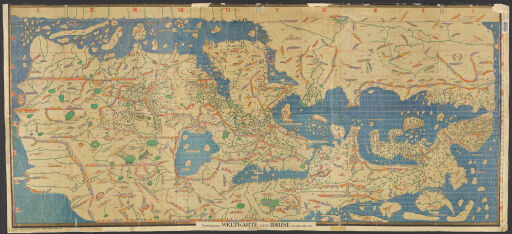
Facsimiles Map Collection
Map historians have relied on copies (facsimiles) of old maps for more than a century. In some cases, the copies they used were restrikes of images from original printing plates. Beginning in the middle of the 19th century, map collectors, initially individuals but later libraries and learned societies, collected original early maps and reprinted them in facsimile atlases. Nineteenth-century facsimiles were often lithographed prints of hand-traced maps. Not until the early 20th century did photography begin to play a larger role in creating facsimile images. The maps and atlases contained in this digital collection include some of the most important of the facsimiles published in the late 19th century including Wieder’s Monumenta Cartographica and Nordenskiöld’s Facsimile-Atlas to the Early History of Cartography.
Please contact the Map Library regarding these items via e-mail at charts@library.illinois.edu or by calling 217-333-0827.