
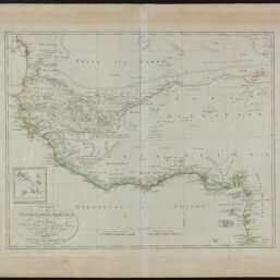
Charte von Senegambien, Nigritien und Guinea
Permalink
https://digital.library.illinois.edu/items/0d20a560-6c98-0134-1deb-0050569601ca-4
This item is in the public domain.
Descriptive Information
| Title | Charte von Senegambien, Nigritien und Guinea |
| Creator | Reinecke, J. C. M. (Johann Christoph Matthias), 1770-1818 |
| Date | 1803 |
| Dimensions | 44 x 54.5 cm |
| Cartographic Scale | 1:6,150,000 |
| Notes | Worldcat OCLC No. 809064548. |
| Coverage-Spatial | Africa, West |
| Genre | Maps |
| Language | French |
| Source | Allgemeiner Hand-Atlas der Ganzen Erde nach den besten astronomischen Bestimmungen, und zu A.C. Gaspari vollstaendigem Handbuche der neuesten Erdbeschreibung bestimmt. Weimar Im Vertage des Geographischen Instituts. (General Hand Atlas of the whole earth for the best astronomical terms, and AC Gaspari complete hand book of the latest geography determined. In Weimar by the Department of Geography. |
| Physical Location | Professor Thomas Bassett Personal Collection |
| Is Referenced By | Rumsey No. 9535.056 |
| Map ID | afm0002419 |
| Rights | No Copyright - United States |
| Rights Description | This item is in the public domain. |
| Collection Title | Maps of Africa to 1900 |
| Repository | Rare Book & Manuscript Library |
| Type | Cartographic material |
| Collection | Maps of Africa to 1900 |
Download Options
|
Charte von Senegambien, Nigritien und Guinea |
Contact us
for questions and to provide feedback.