
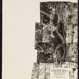
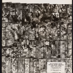
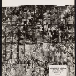
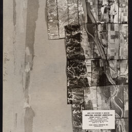
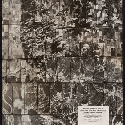
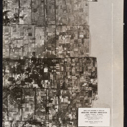
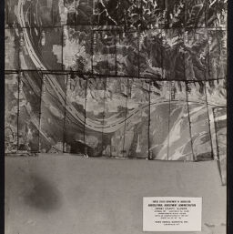
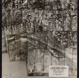
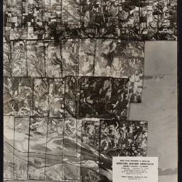
Jersey County, Illinois : [aerial photographs]
Permalink
https://digital.library.illinois.edu/items/118738c0-12de-0137-53b9-0050569601ca-e
For online requests, please use the webform (https://forms.illinois.edu/sec/1947069).
Descriptive Information
| Title | Jersey County, Illinois : [aerial photographs] |
| Creator | United States. Agricultural Adjustment Administration |
| Contributor | Park Aerial Surveys, Inc. |
| Scale | Scale [ca 1:20,000] |
| Coordinates | (W 90⁰36ʹ--W 90⁰09ʹ/N 39⁰16ʹ--N 38⁰55ʹ) |
| Place of Publication | Washington (D.C.) |
| Publisher | United States. Agricultural Adjustment Administration |
| Date of Publication | 1937-1938 |
| Extent | Remote-sensing images |
| Dimensions | 19 x 23 cm |
| Notes |
|
| Coverage-Spatial | Jersey County (Ill.) |
| Language | English |
| Rights | Copyright Not Evaluated |
| Rights Description | For online requests, please use the webform (https://forms.illinois.edu/sec/1947069). |
| Type | Cartographic material |
| Repository | Map Library |
| Local Bib ID | 4997619 |
| Collection Title | Aerial Photographic Index Maps |
| Collection | Aerial Photography Index Maps |
Download Options
|
Page_001 | |

|
Page_002 | |
|
Page_003 | |
|
Page_004 | |

|
Page_005 | |
|
Page_006 | |
|
Page_007 | |

|
Page_008 | |

|
Page_009 | |
|
Page_010 | |

|
Page_011 | |
|
Page_012 | |
|
Page_013 | |
|
Page_014 | |

|
Page_015 |
Contact us
for questions and to provide feedback.