
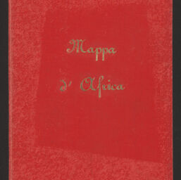
Nouvelle carte de l'Afrique : contenant toutes les stations Belges
Permalink
https://digital.library.illinois.edu/items/176b8c20-b749-013d-5129-02d0d7bfd6e4-0
This item is in the public domain.
Descriptive Information
| Title | Nouvelle carte de l'Afrique : contenant toutes les stations Belges |
| Alternative Title |
|
| Creator | Dosseray, J. |
| Contributor | Casentini, P. |
| Date | 1890 |
| Extent | 1 map : color, sectioned and mounted on fabric |
| Dimensions | 69 x 76 cm, folded in cover 20 x 14 cm |
| Place of Publication | Brussels (Belgium) |
| Publisher | J. Dosseray |
| Cartographic Scale | 1:14,600,000 |
| Notes |
|
| Coverage-Spatial | |
| Genre | Maps |
| Language | French |
| Call Number | G8201.F33 1890 .D67 |
| Rights | No Copyright - United States |
| Rights Description | This item is in the public domain. |
| Collection Title | Maps of Africa to 1900 |
| Repository | Rare Book & Manuscript Library |
| Type | Cartographic material |
| Bibliographic Identifier | 99955609623905899 |
| Collection | Maps of Africa to 1900 |
Download Options
|
99955609623905899-00000001 | |
|
99955609623905899-00000002 | |

|
99955609623905899-00000003 | |
|
99955609623905899-00000004 |
Contact us
for questions and to provide feedback.