


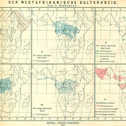
Der Westafrikanische Kulturkreis
Permalink
https://digital.library.illinois.edu/items/27a0f1c0-e946-0133-1d3d-0050569601ca-5
This item is in the public domain.
Descriptive Information
| Title | Der Westafrikanische Kulturkreis |
| Creator | Frobenius, Leo, 1873-1938 |
| Date | 1897 |
| Extent | 10 maps on 1 sheet |
| Dimensions | 22.2 x 63.5 cm |
| Cartographic Scale | 1:60,000,000 |
| Notes | Numbered I through X. See Bassett map No. 453 for related maps. |
| Coverage-Spatial | Africa |
| Subject | |
| Genre | Maps |
| Language | German |
| Color | Printed color |
| Technique | Lithography |
| Source | Petermanns geographische Mitteilungen, V. 43, plate 17. |
| Physical Location | stx |
| Map No. in Bassett and Scheven Bibliography | 444 |
| Call Number | Q_910_5PE |
| Map ID | afm0000444 |
| Rights | No Copyright - United States |
| Rights Description | This item is in the public domain. |
| Collection Title | Maps of Africa to 1900 |
| Repository | Rare Book & Manuscript Library |
| Type | Cartographic material |
| Collection | Maps of Africa to 1900 |
Download Options
|
Der Westafrikanische Kulturkreis |
Contact us
for questions and to provide feedback.