
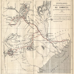
Itinéraires de la Mission de M. Paiva d'Andrada au Zambèze par M.H. Kuss Ingénieur des Mines and mineral resources 1881
Permalink
https://digital.library.illinois.edu/items/2d40c230-e946-0133-1d3d-0050569601ca-8
This item is in the public domain.
Descriptive Information
| Title | Itinéraires de la Mission de M. Paiva d'Andrada au Zambèze par M.H. Kuss Ingénieur des Mines and mineral resources 1881 |
| Creator | Hansen, Jules, 1849-1931 |
| Date | 1882 |
| Dimensions | 20.4 x 19.2 cm |
| Place of Publication | France |
| Cartographic Scale | 1:3,000,000 |
| Notes | Needs repair. |
| Coverage-Spatial | Africa |
| Genre | Maps |
| Language | French |
| Color | Printed color |
| Technique | Lithography |
| Source | Bulletin de la Société de géographie, ser. 7, V. 3, after p. 736. |
| Physical Location | stx |
| Map No. in Bassett and Scheven Bibliography | 319 |
| Call Number | 910_6SOGEASER_7 |
| Map ID | afm0000319 |
| Rights | No Copyright - United States |
| Rights Description | This item is in the public domain. |
| Collection Title | Maps of Africa to 1900 |
| Repository | Rare Book & Manuscript Library |
| Type | Cartographic material |
| Collection | Maps of Africa to 1900 |
Download Options
|
Itinéraires de la Mission de M. Paiva d'Andrada au Zambèze par M.H. Kuss Ingénieur des Mines and mineral resources 1881 |
Contact us
for questions and to provide feedback.