
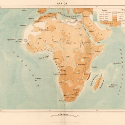
Africa
Permalink
https://digital.library.illinois.edu/items/2d9af2c0-e946-0133-1d3d-0050569601ca-2
This item is in the public domain.
Descriptive Information
| Title | Africa |
| Creator | Reclus, Elise |
| Date | 1886 |
| Dimensions | 18.9 x 25.7 cm |
| Place of Publication | United States |
| Cartographic Scale | 1:49,500,000 |
| Notes | The Universal Geography with Illustrations and Maps. |
| Coverage-Spatial | Africa |
| Genre | Maps |
| Color | Printed color |
| Technique | Lithography |
| Source | New Physical Geography, V. 1, plate 6. |
| Physical Location | stx |
| Map No. in Bassett and Scheven Bibliography | 349 |
| Call Number | 551R24TE |
| Map ID | afm0000349 |
| Rights | No Copyright - United States |
| Rights Description | This item is in the public domain. |
| Collection Title | Maps of Africa to 1900 |
| Repository | Rare Book & Manuscript Library |
| Type | Cartographic material |
| Collection | Maps of Africa to 1900 |
Download Options
Contact us
for questions and to provide feedback.