
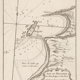
Isle de Mogador ses Mouillages et son Port
Permalink
https://digital.library.illinois.edu/items/35f153b0-e946-0133-1d3d-0050569601ca-8
This item is in the public domain.
Descriptive Information
| Title | Isle de Mogador ses Mouillages et son Port |
| Creator | Bellin, Jacques Nicolas |
| Date | 1764 |
| Dimensions | 17 x 21.7 cm |
| Place of Publication | France |
| Cartographic Scale | Scale in fathoms |
| Notes | Plate 92*, not plate 92. |
| Coverage-Spatial | Africa, North |
| Genre | Maps |
| Language | French |
| Color | Bitonal |
| Technique | Etched or engraved |
| Source | Petit atlas, V. 3, plate 92*. |
| Physical Location | ihlc |
| Map No. in Bassett and Scheven Bibliography | 613 |
| Call Number | Q_912B41P |
| Map ID | afm0000613 |
| Rights | No Copyright - United States |
| Rights Description | This item is in the public domain. |
| Collection Title | Maps of Africa to 1900 |
| Repository | Rare Book & Manuscript Library |
| Type | Cartographic material |
| Collection | Maps of Africa to 1900 |
Download Options
|
Isle de Mogador ses Mouillages et son Port |
Contact us
for questions and to provide feedback.