
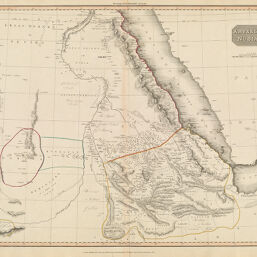
Abyssinia Nubia &c.
Permalink
https://digital.library.illinois.edu/items/36043ce0-e946-0133-1d3d-0050569601ca-b
This item is in the public domain.
Descriptive Information
| Title | Abyssinia Nubia &c. |
| Creator | Pinkerton, John, 1758-1826 |
| Date | 1814 |
| Dimensions | 50 x 69.4 cm |
| Cartographic Scale | 1:3,960,000 |
| Coverage-Spatial | Africa, Eastern |
| Genre | Maps |
| Source | Loose sheet |
| Physical Location | rbx |
| Map No. in Bassett and Scheven Bibliography | 1081 |
| Call Number | G84201814_P5 |
| Map ID | afm0001081 |
| Rights | No Copyright - United States |
| Rights Description | This item is in the public domain. |
| Collection Title | Maps of Africa to 1900 |
| Repository | Rare Book & Manuscript Library |
| Type | Cartographic material |
| Collection | Maps of Africa to 1900 |
Download Options
|
Abyssinia Nubia &c. |
Contact us
for questions and to provide feedback.