
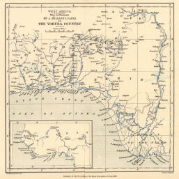
West Africa: Map to illustrate Mr. A. Millson's Paper on the Yoruba Country
Permalink
https://digital.library.illinois.edu/items/3cb83420-e946-0133-1d3d-0050569601ca-7
This item is in the public domain.
Descriptive Information
| Title | West Africa: Map to illustrate Mr. A. Millson's Paper on the Yoruba Country |
| Creator | Shawe, W. |
| Date | 1891 |
| Dimensions | 20 x 19.8 cm |
| Place of Publication | England |
| Cartographic Scale | 1:2,900,000 |
| Coverage-Spatial | Africa, West |
| Genre | Maps |
| Language | English |
| Source | Proceedings of the Royal Geographical Society, V. 13, No. 10, after p. 644. |
| Physical Location | rbx |
| Map No. in Bassett and Scheven Bibliography | 2318 |
| Call Number | 910_6RLn_s_ |
| Map ID | afm0002318 |
| Rights | No Copyright - United States |
| Rights Description | This item is in the public domain. |
| Collection Title | Maps of Africa to 1900 |
| Repository | Rare Book & Manuscript Library |
| Type | Cartographic material |
| Collection | Maps of Africa to 1900 |
Download Options
|
West Africa: Map to illustrate Mr. A. Millson's Paper on the Yoruba Country |
Contact us
for questions and to provide feedback.