
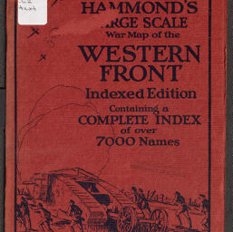
Hammond's large scale war map of the Western Front
Permalink
https://digital.library.illinois.edu/items/45e23c20-b096-0136-5269-0050569601ca-1
No Copyright - United States
Descriptive Information
| Title | Hammond's large scale war map of the Western Front |
| Creator | C.S. Hammond & Company |
| Scale | Scale 1:633,600. 10 miles to 1 in. |
| Coordinates | (E 0⁰53ʹ--E 8⁰50ʹ/N 51⁰25ʹ--N 47⁰35ʹ) |
| Place of Publication | New York (N.Y.) |
| Publisher | C.S. Hammond & Company |
| Date of Publication | 1917 |
| Extent |
|
| Dimensions | 69 x 89 cm, on sheet 72 x 96 cm, folded in cover to 20 x 15 cm |
| Notes |
|
| Coverage-Spatial | |
| Language | English |
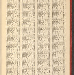
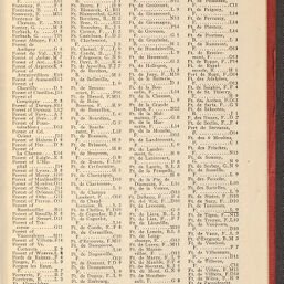
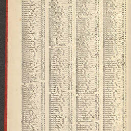
| Subject | World War, 1914-1918 |
| Genre | Maps |
| Rights Description | No Copyright - United States |
| Type | Cartographic material |
| Repository | Map Library |
| Local Bib ID | 7700534 |
| Collection Title | World War I Maps |
| Collection | World War I Maps |
Download Options
|
7700534-001 | |

|
7700534-002 | |

|
7700534-003 | |

|
7700534-004 | |

|
7700534-005 | |

|
7700534-006 | |

|
7700534-007 | |

|
7700534-008 | |
|
7700534-009 | |

|
7700534-010 | |
|
7700534-011 | |

|
7700534-012 | |

|
7700534-013 | |
|
7700534-014 | |
|
7700534-015 | |
|
7700534-016 | |
|
7700534-017 | |

|
7700534-018 | |

|
7700534-019 | |
|
7700534-020 | |

|
7700534-021 | |

|
7700534-022 | |
|
7700534-023 | |

|
7700534-024 | |

|
7700534-025 | |
|
7700534-026 | |

|
7700534-027 | |
|
7700534-028 | |

|
7700534-029 | |

|
7700534-030 | |
|
7700534-031 | |

|
7700534-032 | |
|
7700534-033 | |
|
7700534-034 | |
|
7700534-035 | |
|
7700534-036 | |

|
7700534-037 |
Contact us
for questions and to provide feedback.