
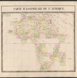
Carte d'Assemblage de l'Afrique
Permalink
https://digital.library.illinois.edu/items/4749b420-c278-0135-4a00-0050569601ca-4
This item is in the public domain.
Descriptive Information
| Title | Carte d'Assemblage de l'Afrique |
| Creator | Vandermaelan, Philppe, 1795-1869 |
| Date | 1827 |
| Dimensions | 47.2 x 53 cm |
| Place of Publication | Brussels (Belgium) |
| Cartographic Scale | 1:20,500,000 |
| Coverage-Spatial | Africa |
| Genre | Maps |
| Source | Atlas universel de geographie physique, politique, statistique et mineralogique. Brussels. Vol 3, Afrique. |
| Physical Location | Professor Thomas Bassett Personal Collection |
| Bibliography | Rumsey No. 2212.143 |
| Map ID | afm0003329 |
| Rights | No Copyright - United States |
| Rights Description | This item is in the public domain. |
| Collection Title | Maps of Africa to 1900 |
| Repository | Rare Book & Manuscript Library |
| Type | Cartographic material |
| Collection | Maps of Africa to 1900 |
Download Options
|
Carte d'Assemblage de l'Afrique |
Contact us
for questions and to provide feedback.