
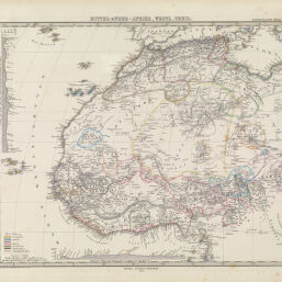
Mittel-& Nord-Afrika, Westl. Theil.
Permalink
https://digital.library.illinois.edu/items/4b1ccd70-e946-0133-1d3d-0050569601ca-9
This item is in the public domain.
Descriptive Information
| Title | Mittel-& Nord-Afrika, Westl. Theil. |
| Creator | Stüpnagel, F. von. |
| Date | 1876 |
| Dimensions | 33 x 38.5 cm |
| Cartographic Scale | 1:14,000,000 |
| Coverage-Spatial | Africa, West |
| Genre | Maps |
| Source | Stieler's Hand_Atlas. Gotha: Justus Perthes, No 69 . |
| Physical Location | Professor Thomas Bassett Personal Collection |
| Map ID | afm0003083 |
| Rights | No Copyright - United States |
| Rights Description | This item is in the public domain. |
| Collection Title | Maps of Africa to 1900 |
| Repository | Rare Book & Manuscript Library |
| Type | Cartographic material |
| Collection | Maps of Africa to 1900 |
Download Options
|
Mittel-& Nord-Afrika, Westl. Theil. |
Contact us
for questions and to provide feedback.