
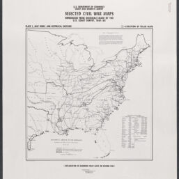
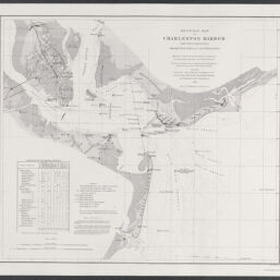
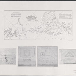
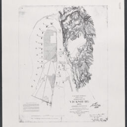
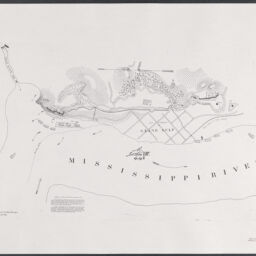
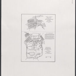
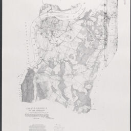
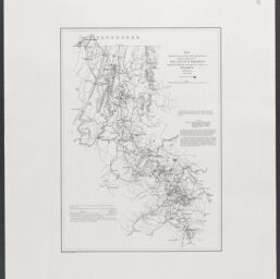
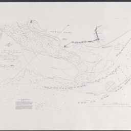
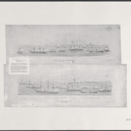
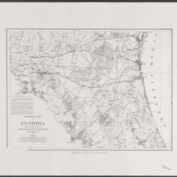
Selected Civil War maps, reproduced from originals made by the U. S. Coast Survey, 1861-65
Permalink
https://digital.library.illinois.edu/items/4b891d00-0eca-013c-47d9-02d0d7bfd6e4-b
This item is in the public domain.
Descriptive Information
| Title | Selected Civil War maps, reproduced from originals made by the U. S. Coast Survey, 1861-65 |
| Alternative Title |
|
| Creator | U.S. Coast and Geodetic Survey |
| Scale | Scales differ |
| Place of Publication | Washington (D.C.) |
| Publisher | U.S. Coast and Geodetic Survey |
| Date of Publication | 1961 |
| Extent | 20 maps |
| Dimensions | 76 x 61 cm |
| Notes |
|
| Coverage-Spatial | United States |
| Language | English |
| Subject | American Civil War (United States : 1861-1865) |
| Genre | |
| Rights | No Copyright - United States |
| Rights Description | This item is in the public domain. |
| Type | Cartographic material |
| Repository | Map Library |
| Local Bib ID | 99161796412205899 |
| Collection Title | Civil War Maps |
| Collection | Civil War Maps |
Download Options
|
99161796412205899-001 | |
|
99161796412205899-002 | |

|
99161796412205899-003 | |
|
99161796412205899-004 | |
|
99161796412205899-005 | |
|
99161796412205899-006 | |

|
99161796412205899-007 | |
|
99161796412205899-008 | |
|
99161796412205899-009 | |
|
99161796412205899-010 | |
|
99161796412205899-011 | |

|
99161796412205899-012 | |
|
99161796412205899-013 | |
|
99161796412205899-014 | |
|
99161796412205899-015 | |

|
99161796412205899-016 | |
|
99161796412205899-017 | |
|
99161796412205899-018 | |
|
99161796412205899-019 | |

|
99161796412205899-020 | |
|
99161796412205899-021 |
Contact us
for questions and to provide feedback.