
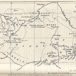
Guinea to illustrate a Paper by H. Exc. Governor Moloney, C.M.G.
Permalink
https://digital.library.illinois.edu/items/4d5ca6a0-e946-0133-1d3d-0050569601ca-f
This item is in the public domain.
Descriptive Information
| Title | Guinea to illustrate a Paper by H. Exc. Governor Moloney, C.M.G. |
| Creator | George Philip & Son |
| Date | 1889 |
| Dimensions | 11.4 x 21 cm |
| Place of Publication | England |
| Cartographic Scale | 1:14,100,000 |
| Notes | Outline map. |
| Coverage-Spatial | Africa, West |
| Subject | |
| Genre | Maps |
| Language | English |
| Color | Bitonal |
| Technique | Lithography |
| Source | The Journal of the Manchester Geographical Society, V. 5, between pp. 254-255. |
| Physical Location | stx |
| Map No. in Bassett and Scheven Bibliography | 2303 |
| Call Number | 910_6MA |
| Map ID | afm0002303 |
| Rights | No Copyright - United States |
| Rights Description | This item is in the public domain. |
| Collection Title | Maps of Africa to 1900 |
| Repository | Rare Book & Manuscript Library |
| Type | Cartographic material |
| Collection | Maps of Africa to 1900 |
Download Options
|
Guinea to illustrate a Paper by H. Exc. Governor Moloney, C.M.G. |
Contact us
for questions and to provide feedback.