
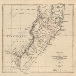
South Africa, Map of Zulu, Amatonga, Natal & Kafir Land from the Sketches of Messrs. Sanderson, Paxton, Rider & Newling, to illustrate Papers by John Sanderson, Esqr. 1861
Permalink
https://digital.library.illinois.edu/items/53c90270-e946-0133-1d3d-0050569601ca-7
This item is in the public domain.
Descriptive Information
| Title | South Africa, Map of Zulu, Amatonga, Natal & Kafir Land from the Sketches of Messrs. Sanderson, Paxton, Rider & Newling, to illustrate Papers by John Sanderson, Esqr. 1861 |
| Creator | Royal Geographical Society (Great Britain) |
| Date | 1862 |
| Dimensions | 18.4 x 19.3 cm |
| Place of Publication | England |
| Cartographic Scale | 1:4,000,000 |
| Coverage-Spatial | Africa, Southern |
| Genre | Maps |
| Source | Journal of the Royal Geographic Society, V. 32, between pp. 334-335. |
| Physical Location | rbx |
| Map No. in Bassett and Scheven Bibliography | 1659 |
| Call Number | 910_6ROJ (Online resource, http://www_library_uiuc_edu/orr/results_php?resid=35994) |
| Map ID | afm0001659 |
| Rights | No Copyright - United States |
| Rights Description | This item is in the public domain. |
| Collection Title | Maps of Africa to 1900 |
| Repository | Rare Book & Manuscript Library |
| Type | Cartographic material |
| Collection | Maps of Africa to 1900 |
Download Options
|
South Africa, Map of Zulu, Amatonga, Natal & Kafir Land from the Sketches of Messrs. Sanderson, Paxton, Rider & Newling, to illustrate Papers by John Sanderson, Esqr. 1861 |
Contact us
for questions and to provide feedback.