
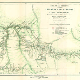
Karte der Gebiete zwischen Luluaburg und Nyangwe in Aequatorial-Afrika
Permalink
https://digital.library.illinois.edu/items/56610a70-e946-0133-1d3d-0050569601ca-7
This item is in the public domain.
Descriptive Information
| Title | Karte der Gebiete zwischen Luluaburg und Nyangwe in Aequatorial-Afrika |
| Creator | Wissmann, Hermann von, 1853-1905 |
| Date | 1891 |
| Dimensions | 25.4 x 43.3 cm |
| Place of Publication | Germany |
| Cartographic Scale | 1:1,000,000 |
| Notes | Relief shown by hachures and spot heights. |
| Coverage-Spatial | Congo (Democratic Republic) |
| Subject | |
| Genre | Maps |
| Language | German |
| Color | Printed color |
| Technique | Lithography |
| Source | Petermanns geographische Mitteilungen, V. 37, plate 5. |
| Physical Location | stx |
| Map No. in Bassett and Scheven Bibliography | 2042 |
| Call Number | Q_910_5PE |
| Map ID | afm0002042 |
| Rights | No Copyright - United States |
| Rights Description | This item is in the public domain. |
| Collection Title | Maps of Africa to 1900 |
| Repository | Rare Book & Manuscript Library |
| Type | Cartographic material |
| Collection | Maps of Africa to 1900 |
Download Options
|
Karte der Gebiete zwischen Luluaburg und Nyangwe in Aequatorial-Afrika |
Contact us
for questions and to provide feedback.