
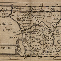
Congo
Permalink
https://digital.library.illinois.edu/items/57145650-e946-0133-1d3d-0050569601ca-a
This item is in the public domain.
Descriptive Information
| Title | Congo |
| Creator | Duval, P. (Pierre), 1619-1682 |
| Date | 1679 |
| Dimensions | 10.2 x 12.3 cm |
| Place of Publication | Germany |
| Cartographic Scale | 1:20,500,000 |
| Coverage-Spatial | Africa, Central |
| Genre | Maps |
| Source | Geographiæ univeralis, p. 234. |
| Physical Location | rbx |
| Map No. in Bassett and Scheven Bibliography | 1822 |
| Call Number | X910D95MGB |
| Map ID | afm0001822 |
| Rights | No Copyright - United States |
| Rights Description | This item is in the public domain. |
| Collection Title | Maps of Africa to 1900 |
| Repository | Rare Book & Manuscript Library |
| Type | Cartographic material |
| Collection | Maps of Africa to 1900 |
Download Options
Contact us
for questions and to provide feedback.