
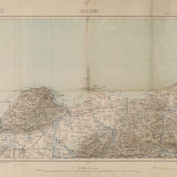
Alger
Permalink
https://digital.library.illinois.edu/items/5bec4b00-e946-0133-1d3d-0050569601ca-e
This item is in the public domain.
Descriptive Information
| Title | Alger |
| Creator | France. Armée. Service géographique |
| Date | 1890 |
| Dimensions | 32 x 50 cm |
| Cartographic Scale | 1:200,000 |
| Notes | Topographic map. |
| Coverage-Spatial | Africa, North |
| Genre | Maps |
| Physical Location | Professor Thomas Bassett Personal Collection |
| Map ID | afm0003205 |
| Rights | No Copyright - United States |
| Rights Description | This item is in the public domain. |
| Collection Title | Maps of Africa to 1900 |
| Repository | Rare Book & Manuscript Library |
| Type | Cartographic material |
| Collection | Maps of Africa to 1900 |
Download Options
Contact us
for questions and to provide feedback.