
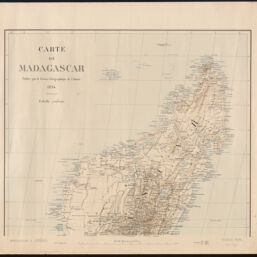
Carte de Madagascar
Permalink
https://digital.library.illinois.edu/items/737eeca0-3dcb-013b-c8a3-02d0d7bfd6e4-f
This item is in the public domain.
Descriptive Information
| Title | Carte de Madagascar |
| Creator | France. Armée. Service géographique |
| Date | 1894 |
| Dimensions | 48.5 x 56 cm |
| Publisher | Service Géographique de l'Armée |
| Cartographic Scale | 1:2,000,000 |
| Coverage-Spatial | Africa, Southern |
| Genre | Maps |
| Language | French |
| Physical Location | Professor Thomas Bassett Personal Collection |
| Map ID | afm0003502 |
| Rights | No Copyright - United States |
| Rights Description | This item is in the public domain. |
| Collection Title | Maps of Africa to 1900 |
| Repository | Rare Book & Manuscript Library |
| Type | Cartographic material |
| Collection | Maps of Africa to 1900 |
Download Options
|
afm0003502-001 | |

|
afm0003502-002 |
Contact us
for questions and to provide feedback.