
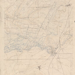
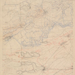
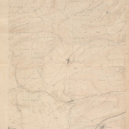
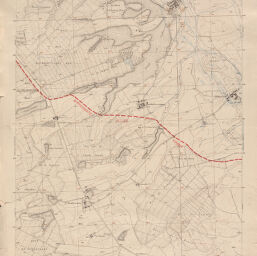
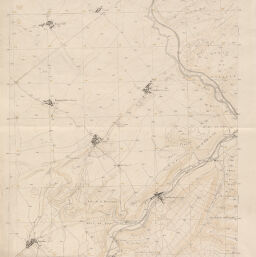
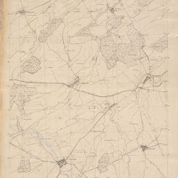
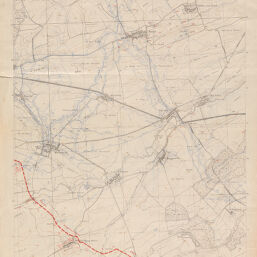
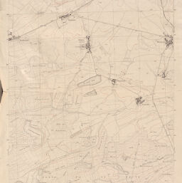
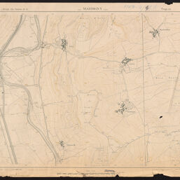
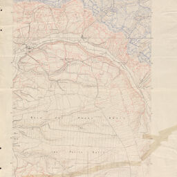
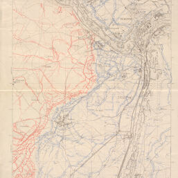
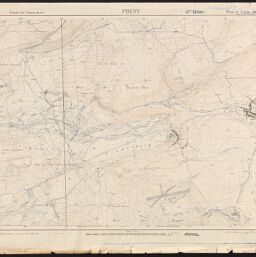
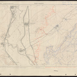
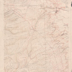
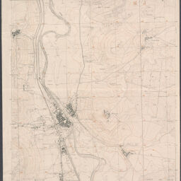
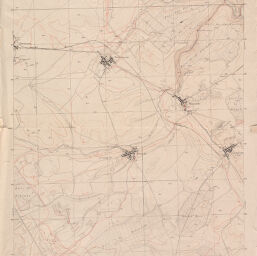
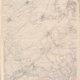
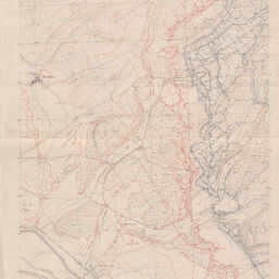
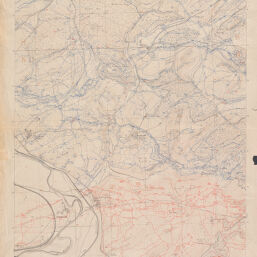
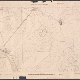
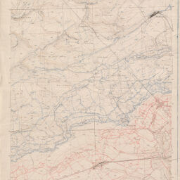
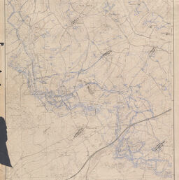
Maps showing entrenchments in France during World War I, 1916-1918
Permalink
https://digital.library.illinois.edu/items/7b20f220-1eea-0137-6b87-02d0d7bfd6e4-f
No Copyright - United States
Descriptive Information
| Title | Maps showing entrenchments in France during World War I, 1916-1918 |
| Creator | France. Armée. Service géographique |
| Contributor | United States. Army Printing Plant |
| Scale | Scale 1:10,000. |
| Place of Publication | Paris (France) |
| Publisher | France. Armée. Service géographique |
| Date of Publication | 1916 |
| Extent | maps, color |
| Dimensions | sheets 100 x 100 cm or smaller |
| Notes | Likely published 1916. |
| Coverage-Spatial | France |
| Language | French |
| Subject | World War, 1914-1918 |
| Genre | Topographic maps |
| Source |
|
| Rights Description | No Copyright - United States |
| Type | Cartographic material |
| Repository | Map Library |
| Local Bib ID | 6002083 |
| Collection Title | World War I Maps |
| Collection | World War I Maps |
Download Options
|
6002083-001 | |

|
6002083-002 | |
|
6002083-003 | |

|
6002083-004 | |
|
6002083-005 | |
|
6002083-006 | |

|
6002083-007 | |

|
6002083-008 | |

|
6002083-009 | |
|
6002083-010 | |

|
6002083-011 | |

|
6002083-012 | |
|
6002083-013 | |

|
6002083-014 | |
|
6002083-015 | |
|
6002083-016 | |
|
6002083-017 | |
|
6002083-018 | |

|
6002083-019 | |
|
6002083-020 | |
|
6002083-021 | |
|
6002083-022 | |

|
6002083-023 | |
|
6002083-024 | |
|
6002083-025 | |
|
6002083-026 | |
|
6002083-027 | |

|
6002083-028 | |
|
6002083-029 | |
|
6002083-030 | |
|
6002083-031 | |

|
6002083-032 | |
|
6002083-033 | |

|
6002083-034 | |

|
6002083-035 | |
|
6002083-036 |
Contact us
for questions and to provide feedback.