
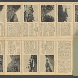
Official map of Panama Canal
Permalink
https://digital.library.illinois.edu/items/92c11810-50c1-013e-321b-02d0d7bfd6e4-9
This item is in the public domain.
Descriptive Information
| Title | Official map of Panama Canal |
| Contributor | Maduro, I. L. |
| Scale | Scale 1:133,320. Scale 11,110 ft. to the inch |
| Place of Publication | Colón (Panama) |
| Date of Publication | 1902 |
| Extent | 1 map : color |
| Dimensions | 28 x 46 cm, folded in cover 23 x 10 cm |
| Notes |
|
| Coverage-Spatial | |
| Language | English |
| Genre | Maps |
| Rights | No Copyright - United States |
| Rights Description | This item is in the public domain. |
| Type | Cartographic material |
| Repository | Map Library |
| Local Bib ID | 99955596522205899 |
| Collection Title | American Empire Maps |
| Collection | American Empire Maps |
Download Options

|
99955596522205899-00000001 | |

|
99955596522205899-00000002 | |
|
99955596522205899-00000003 |
Contact us
for questions and to provide feedback.