


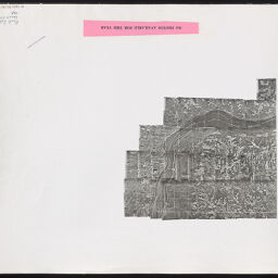
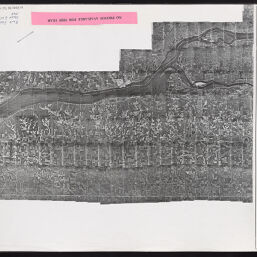
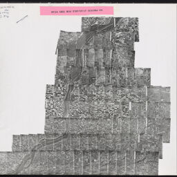
[Index to] Rock Island County, Illinois : [aerial photograph index]
Permalink
https://digital.library.illinois.edu/items/a9e65070-3f61-0137-6c3c-02d0d7bfd6e4-0
For online requests, please use the webform (https://forms.illinois.edu/sec/1947069).
Descriptive Information
| Title | [Index to] Rock Island County, Illinois : [aerial photograph index] |
| Creator | United States. Agricultural Stabilization and Conservation Service |
| Contributor | Park Aerial Surveys, Inc. |
| Scale | Scale [ca 1:63,360] |
| Coordinates | (W 91⁰05ʹ--W 90⁰10ʹ/N 41⁰47ʹ--N 41⁰20ʹ) |
| Place of Publication | Washington (D.C.) |
| Publisher | United States. Agricultural Stabilization and Conservation Service |
| Date of Publication | 1964 |
| Extent | 1 remote-sensing image on 4 sheets |
| Dimensions | 126 x 83 cm, sheets 61 x 51 cm |
| Notes |
|
| Coverage-Spatial | Rock Island County (Ill.) |
| Language | English |
| Rights | Copyright Not Evaluated |
| Rights Description | For online requests, please use the webform (https://forms.illinois.edu/sec/1947069). |
| Type | Cartographic material |
| Repository | Map Library |
| Local Bib ID | 5010545 |
| Collection Title | Aerial Photographic Index Maps |
| Collection | Aerial Photography Index Maps |
Download Options
|
Page_001 | |
|
Page_002 | |

|
Page_003 | |
|
Page_004 |
Contact us
for questions and to provide feedback.