


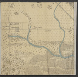
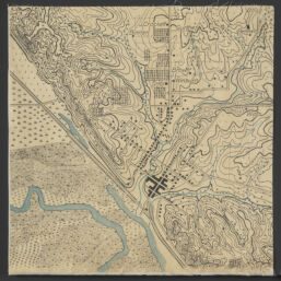
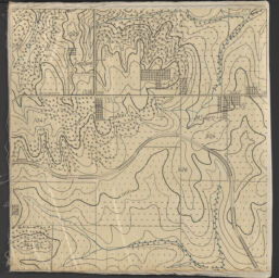
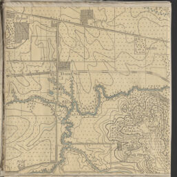
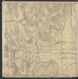
Fort Leavenworth war game map : Platte City-Leavenworth-Easton-Waldron-Lansing, and Boling sheets / made at the Army Service Schools, Fort Leavenworth, Kansas, 1909-13 ; control and woodland from U.S. Geological Survey, 1906-09
Permalink
https://digital.library.illinois.edu/items/c28942d0-3d77-013d-4df4-02d0d7bfd6e4-2
No Copyright - United States
Descriptive Information
| Title | Fort Leavenworth war game map : Platte City-Leavenworth-Easton-Waldron-Lansing, and Boling sheets / made at the Army Service Schools, Fort Leavenworth, Kansas, 1909-13 ; control and woodland from U.S. Geological Survey, 1906-09 |
| Creator | Army Service Schools (U.S.) |
| Contributor | Geological Survey (U.S.) |
| Scale | Scale 1:5,280. 12 in. = 1 mile |
| Place of Publication | Fort Leavenworth (Kan.) |
| Publisher | Army Service Schools (U.S.) |
| Date of Publication | 1913 |
| Extent | maps : color |
| Dimensions | on sheets 49 x 49 cm |
| Notes |
|
| Coverage-Spatial | Fort Leavenworth (Kan.) |
| Language | English |
| Subject | War games |
| Genre | |
| Rights Description | No Copyright - United States |
| Type | Cartographic material |
| Repository | Map Library |
| Local Bib ID | 99399490112205899 |
| Collection Title | World War I Maps |
| Collection | World War I Maps |
Download Options

|
99399490112205899-00000001 | |

|
99399490112205899-00000002 | |

|
99399490112205899-00000003 | |
|
99399490112205899-00000004 | |
|
99399490112205899-00000005 | |

|
99399490112205899-00000006 | |

|
99399490112205899-00000007 | |

|
99399490112205899-00000008 | |

|
99399490112205899-00000009 | |
|
99399490112205899-00000010 | |

|
99399490112205899-00000011 | |

|
99399490112205899-00000012 | |

|
99399490112205899-00000013 | |
|
99399490112205899-00000014 | |

|
99399490112205899-00000015 | |

|
99399490112205899-00000016 | |

|
99399490112205899-00000017 | |

|
99399490112205899-00000018 | |
|
99399490112205899-00000019 | |

|
99399490112205899-00000020 | |

|
99399490112205899-00000021 | |

|
99399490112205899-00000022 |
Contact us
for questions and to provide feedback.