
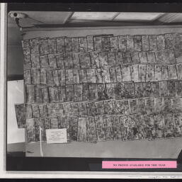
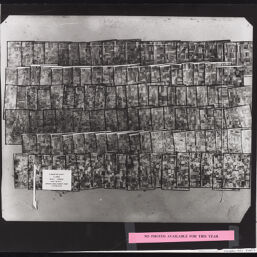
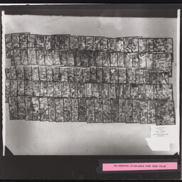
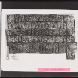
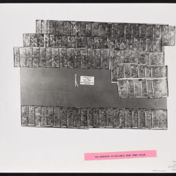
[Index to] Livingston County, Illinois : [aerial photograph index]
Permalink
https://digital.library.illinois.edu/items/e9268b90-17c7-0137-6b56-02d0d7bfd6e4-a
For online requests, please use the webform (https://forms.illinois.edu/sec/1947069).
Descriptive Information
| Title | [Index to] Livingston County, Illinois : [aerial photograph index] |
| Creator | United States. Agricultural Adjustment Administration |
| Contributor | Abrams Aerial Survey Corporation |
| Scale | Scale [ca 1:70,000] |
| Coordinates | (W 88⁰56ʹ--W 88⁰15ʹ/N 41⁰07ʹ--N 40⁰37ʹ) |
| Place of Publication | Washington (D.C.) |
| Publisher | United States. Agricultural Adjustment Administration |
| Date of Publication | 1936 |
| Extent | 1 remote-sensing image on 6 sheets |
| Dimensions | 66 x 142 cm, sheets 61 x 51 cm |
| Notes |
|
| Coverage-Spatial | Livingston County (Ill.) |
| Language | English |
| Rights | Copyright Not Evaluated |
| Rights Description | For online requests, please use the webform (https://forms.illinois.edu/sec/1947069). |
| Type | Cartographic material |
| Repository | Map Library |
| Local Bib ID | 4997616 |
| Collection Title | Aerial Photographic Index Maps |
| Collection | Aerial Photography Index Maps |
Download Options
|
Page_001 | |
|
Page_002 | |
|
Page_003 | |
|
Page_004 | |
|
Page_005 | |

|
Page_006 |
Contact us
for questions and to provide feedback.