
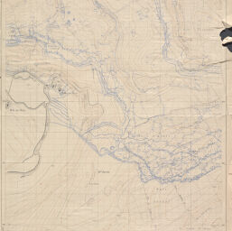
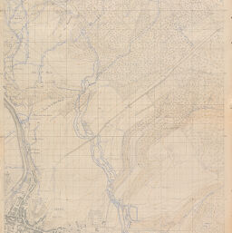
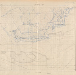
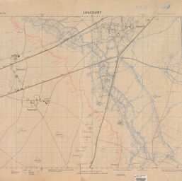
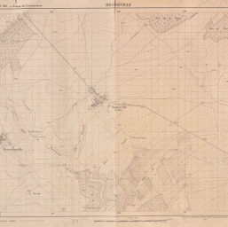
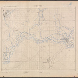
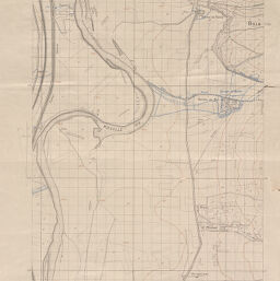
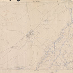
Maps showing entrenchments in France during World War I
Permalink
https://digital.library.illinois.edu/items/ef8bf3b0-17c7-0137-6b56-02d0d7bfd6e4-5
No Copyright - United States
Descriptive Information
| Title | Maps showing entrenchments in France during World War I |
| Creator | France. Armée. Service géographique |
| Scale | Scale 1:5,000 |
| Place of Publication | Paris (France) |
| Publisher | France. Armée. Service géographique |
| Date of Publication | 1917 |
| Extent | maps, color |
| Dimensions | sheets 75 x 108 cm or smaller |
| Notes |
|
| Coverage-Spatial | France |
| Language | French |
| Genre | Topographic maps |
| Rights Description | No Copyright - United States |
| Type | Cartographic material |
| Repository | Map Library |
| Local Bib ID | 3998943 |
| Collection Title | World War I Maps |
| Collection | World War I Maps |
Download Options

|
3998943-001 | |
|
3998943_ailly_sur_meuse | |

|
3998943_apremont | |
|
3998943_cote_ste_marie | |

|
3998943_crapeaumesnil | |
|
3998943_gerechamp | |
|
3998943_laucourt | |

|
3998943_limey | |

|
3998943_manheulles | |
|
3998943_regnieville | |
|
3998943_richecourt | |
|
3998943_saint_michel | |
|
3998943_spada | |

|
3998943_verpillieres |
Contact us
for questions and to provide feedback.