


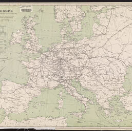
Europe
Permalink
https://digital.library.illinois.edu/items/f10fd750-17c7-0137-6b56-02d0d7bfd6e4-1
No Copyright - United States
Descriptive Information
| Title | Europe |
| Creator | South-Eastern & Chatham Railway |
| Contributor | M'Corquodale & Co. |
| Scale | Scale approximately 1:6,300,000 |
| Coordinates | (W 15°--E 43°/N 63°--N 32°) |
| Place of Publication | London (England) |
| Publisher | M’Corquodale & Co. |
| Date of Publication | 1905-1914 |
| Extent | 1 map, color |
| Dimensions | 48 x 60 cm |
| Notes |
|
| Language | English |
| Rights Description | No Copyright - United States |
| Type | Cartographic material |
| Repository | Map Library |
| Local Bib ID | 7693743 |
| Collection Title | World War I Maps |
| Collection | World War I Maps |
Download Options
Contact us
for questions and to provide feedback.