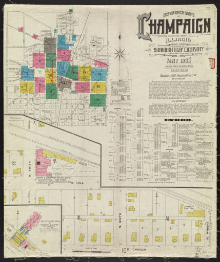
Sanborn Fire Insurance Maps
The University Library’s collection of Sanborn fire insurance maps includes maps for Illinois towns; rural settings are not included. Sanborn maps were produced to assist insurance underwriters in determining fire insurance rates for individual buildings by examining the buildings' construction methods, heat and lighting sources and manufacturing uses, and the same attributes of nearby buildings. The maps primarily provide information on the downtown areas of cities and adjoining residential areas. They are a record of urban development from the 1880s through the first half of the twentieth century. Family historians may find them interesting in documenting family homes and businesses. The maps in the collection are duplicates of the maps held at the Library of Congress.
Maps in this image collection pre-date 1923. For information about later coverage, please go to the Map Library’s Sanborn Fire Insurance Maps https://www.library.illinois.edu/max/collections/sanborn-fire-insurance-maps-new/ webpage. Contact the Map Library with questions regarding coverage and access via e-mail at charts@library.illinois.edu or by calling 217-333-0827.