
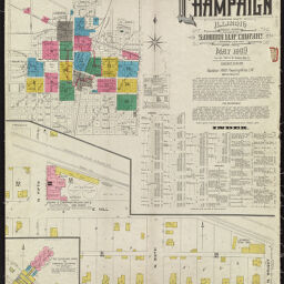
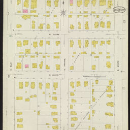
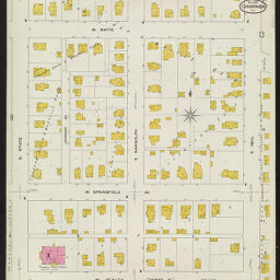
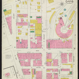
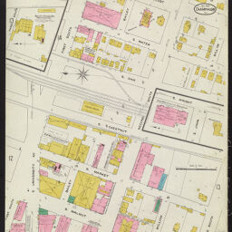
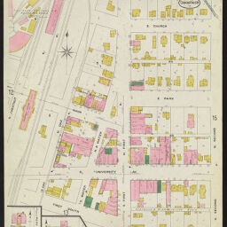
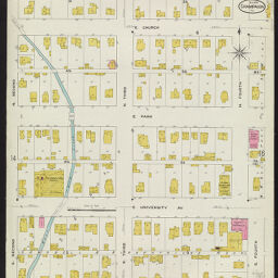
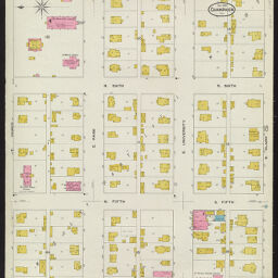
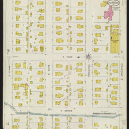
Insurance Maps of Champaign, Champaign County, Illinois, May 1909
Permalink
https://digital.library.illinois.edu/items/c712ea70-c451-0133-1d17-0050569601ca-8
In the public domain.
Descriptive Information
| Title | Insurance Maps of Champaign, Champaign County, Illinois, May 1909 |
| Creator | Sanborn Map Company |
| Coverage-Spatial | Champaign (Ill.) |
| Genre | Fire insurance maps |
| Subject | Fire risk assessment |
| Publisher | Sanborn Map & Publishing Co. |
| Date of Publication | 1909 |
| Place of Publication | New York (N.Y.) |
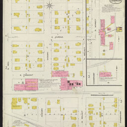
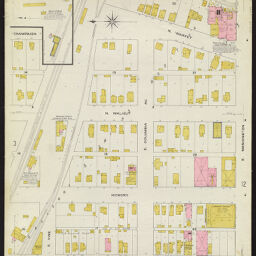
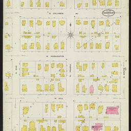
| Scale | Scale 1:600. 50 ft. to 1 in. |
| Language | English |
| Notes |
|
| Extent | 19 maps : color |
| Dimensions | 65 x 55 cm |
| Coordinates | (W 88°14'36"/N 40°06'59") |
| Rights | No Copyright - United States |
| Rights Description | In the public domain. |
| Type | Cartographic material |
| Repository | Map Library |
| Local Bib ID | 6713580 |
| Collection Title | Sanborn Fire Insurance Maps |
| Collection | Sanborn Fire Insurance Maps |
Download Options
|
1909_Page01 | |

|
1909_Page02 | |
|
1909_Page03 | |
|
1909_Page04 | |

|
1909_Page05 | |
|
1909_Page06 | |

|
1909_Page07 | |

|
1909_Page08 | |
|
1909_Page09 | |

|
1909_Page10 | |
|
1909_Page11 | |
|
1909_Page12 | |
|
1909_Page13 | |
|
1909_Page14 | |
|
1909_Page15 | |
|
1909_Page16 | |
|
1909_Page17 | |

|
1909_Page18 | |

|
1909_Page19 |
Contact us
for questions and to provide feedback.