
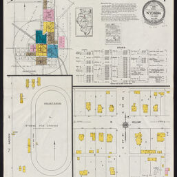
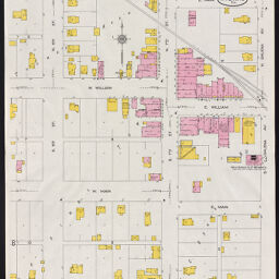
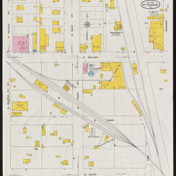
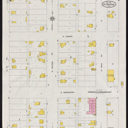
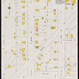
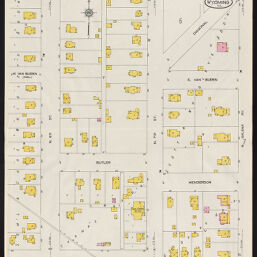
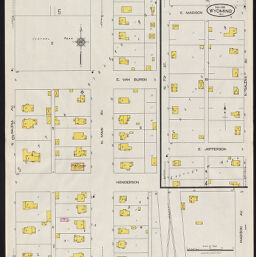
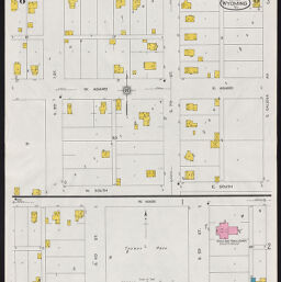
Wyoming, Stark County, Illinois, May 1926
Permalink
https://digital.library.illinois.edu/items/1d48b360-fc95-0139-7a70-02d0d7bfd6e4-d
In the public domain.
Descriptive Information
| Title | Wyoming, Stark County, Illinois, May 1926 |
| Alternative Title | Title on map sheets: Wyoming, Ill. |
| Creator | Sanborn Map Company |
| Coverage-Spatial | Wyoming (Ill.) |
| Genre | Fire insurance maps |
| Subject | Fire risk assessment |
| Publisher | Sanborn Map & Publishing Co. |
| Date of Publication | 1926 |
| Place of Publication | New York (N.Y.) |
| Scale | Scale 1:1,200 |
| Language | English |
| Notes |
|
| Extent | 8 maps |
| Dimensions | 65 x 55 cm |
| Coordinates | (W 89⁰46ʹ23ʺ/N 41⁰03ʹ42ʺ) |
| Rights | No Copyright - United States |
| Rights Description | In the public domain. |
| Type | Cartographic material |
| Repository | Map Library |
| Local Bib ID | 99161321012205899 |
| Collection Title | Sanborn Fire Insurance Maps |
| Collection | Sanborn Fire Insurance Maps |
Download Options
|
99161321012205899-001 | |
|
99161321012205899-002 | |
|
99161321012205899-003 | |
|
99161321012205899-004 | |
|
99161321012205899-005 | |
|
99161321012205899-006 | |
|
99161321012205899-007 | |
|
99161321012205899-008 |
Contact us
for questions and to provide feedback.