
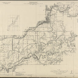
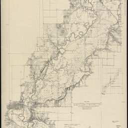
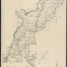
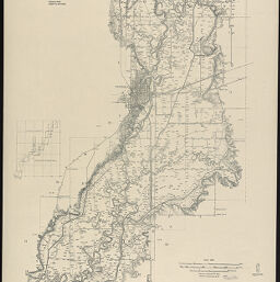
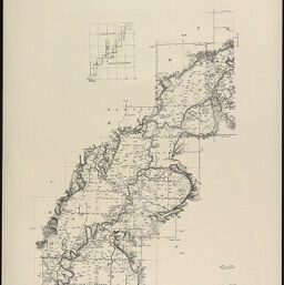
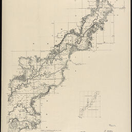
Kaskaskia River drainage project
Permalink
https://digital.library.illinois.edu/items/1d863f50-2102-0138-7070-02d0d7bfd6e4-8
No Copyright - United States
Descriptive Information
| Title | Kaskaskia River drainage project |
| Creator | Illinois State Geological Survey |
| Contributor | Geological Survey (U.S.) |
| Scale | 1:24,000 |
| Coordinates | W 90°00ʹ--W 88°45ʹ/N 39°15ʹ--N 37°00ʹ |
| Place of Publication | Urbana (Ill.) |
| Publisher | Illinois State Geological Survey |
| Extent | 1 map on 13 sheets |
| Dimensions | 82 x 69 cm and 69 x 82 cm |
| Notes |
|
| Coverage-Spatial | Kaskaskia River (Ill.) |
| Language | English |
| Genre | Topographic maps |
| Rights | No Copyright - United States |
| Type | Cartographic material |
| Repository | Map Library |
| Local Bib ID | 3993195 |
| Collection Title | River Maps |
| Collection | River Maps |
Download Options
|
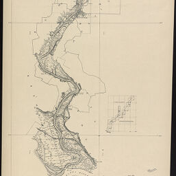
Sheet 1 | |
|
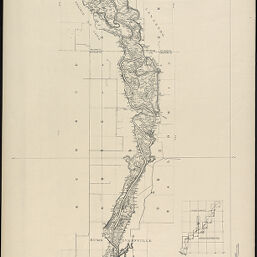
Sheet 2 | |
|
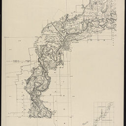
Sheet 3 | |

|
Sheet 4 | |
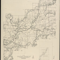
|
Sheet 5 | |
|
Sheet 6 | |
|
Sheet 7 | |
|
Sheet 8 | |
|
Sheet 9 | |
|
Sheet 10 | |
|
Sheet 11 | |

|
Sheet 12 | |

|
Sheet 13 |
Contact us
for questions and to provide feedback.