
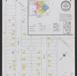
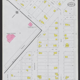
Hopedale, Tazewell County, Illinois, October 1927
Permalink
https://digital.library.illinois.edu/items/1e1f1c60-2645-013b-c7b0-02d0d7bfd6e4-0
In the public domain.
Descriptive Information
| Title | Hopedale, Tazewell County, Illinois, October 1927 |
| Alternative Title | Title on map sheets: Hopedale, Ill |
| Creator | Sanborn Map Company |
| Coverage-Spatial | |
| Genre | Maps |
| Subject | |
| Publisher | Sanborn Map & Publishing Co. |
| Date of Publication | 1927 |
| Place of Publication | New York (N.Y.) |
| Scale | Scale ca. 1:600 |
| Language | English |
| Notes |
|
| Extent | 4 maps : color |
| Dimensions | 65 x 55 cm |
| Coordinates | W 89⁰24ʹ52ʺ/N 40⁰25ʹ15ʺ |
| Rights | No Copyright - United States |
| Rights Description | In the public domain. |
| Type | Cartographic material |
| Repository | Map Library |
| Local Bib ID | 99162237312205899 |
| Collection Title | Sanborn Fire Insurance Maps |
| Collection | Sanborn Fire Insurance Maps |
Download Options
|
99162237312205899-001 | |

|
99162237312205899-002 | |

|
99162237312205899-003 | |
|
99162237312205899-004 |
Contact us
for questions and to provide feedback.