


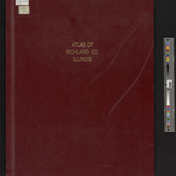
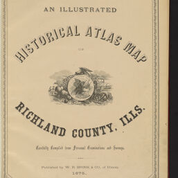
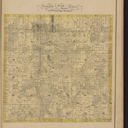
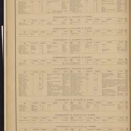
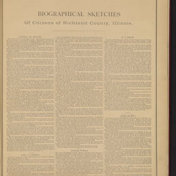
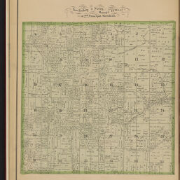
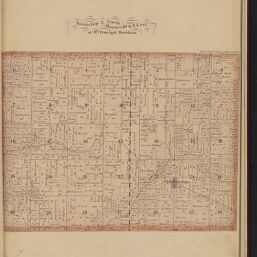
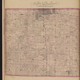
An illustrated historical atlas map of Richland County, Ills.
Permalink
https://digital.library.illinois.edu/items/2cf50de0-fe25-0139-7ab5-02d0d7bfd6e4-dNo Copyright - United States
Descriptive Information
| Title | An illustrated historical atlas map of Richland County, Ills. |
| Creator | W.R. Brink & Co. |
| Date | 1875 |
| Decade | 1870s |
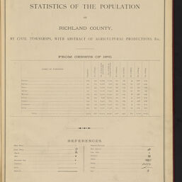
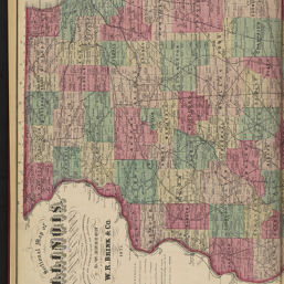
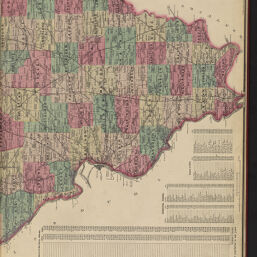
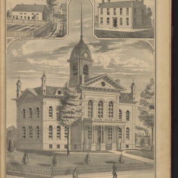
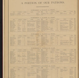
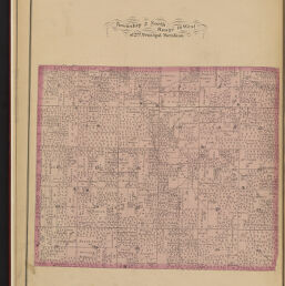
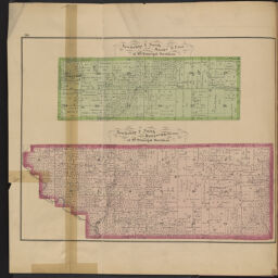
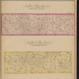
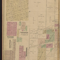
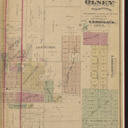
| Description | An illustrated historical atlas map of Richland County, Illinois, carefully compiled from personal examinations and surveys. Scales vary. |
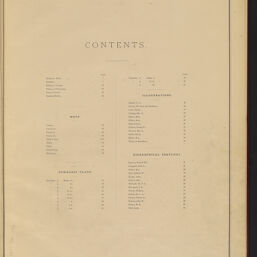
| Extent | 49 pages |
| Dimensions | 45 cm |
| Language | English |
| Publisher | W.R. Brink & Co. |
| Geographic Subject | Richland County (Ill.) |
| Collection Title | Historic Illinois County Atlases |
| Rights | No Copyright - United States |
| Repository | Illinois History and Lincoln Collections |
| Type | Cartographic material |
| Bibliographic Identifier | 99169307912205899 |
| Local barcode | 30112031883793 |
| Collection | Historic Illinois County Atlases |
Download Options
|
1 | |
|
2 | |
|
3 | |
|
4 | |
|
5 | |
|
6 | |
|
7 | |
|
8 | |
|
9 | |

|
10 | |

|
11 | |

|
12 | |
|
13 | |
|
14 | |
|
15 | |

|
16 | |

|
17 | |

|
18 | |
|
19 | |
|
20 | |
|
21 | |

|
22 | |

|
23 | |
|
24 | |
|
25 | |
|
26 | |
|
27 | |
|
28 | |
|
29 | |

|
30 | |
|
31 | |
|
32 | |

|
33 | |
|
34 | |

|
35 | |
|
36 | |

|
37 | |
|
38 | |

|
39 | |

|
40 | |
|
41 | |

|
42 | |
|
43 | |
|
44 | |
|
45 | |
|
46 | |
|
47 | |
|
48 | |
|
49 | |
|
50 | |
|
51 | |
|
52 | |

|
53 | |
|
54 | |
|
55 | |
|
56 | |
|
57 | |
|
58 | |

|
59 |
Contact us
for questions and to provide feedback.