
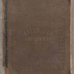
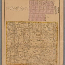
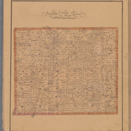
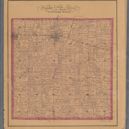
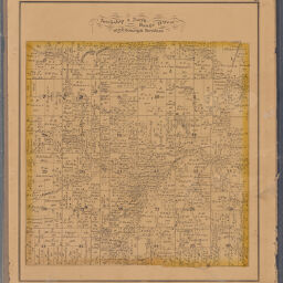
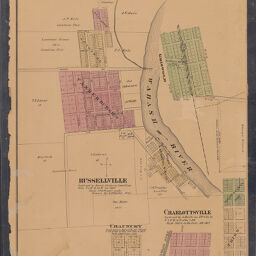
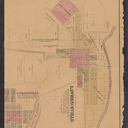
Atlas of Lawrence Co. Illinois: drawn from actual surveys and the county records; to which is added a railroad and sectional map of the state.
Permalink
https://digital.library.illinois.edu/items/2d56c410-fe25-0139-7ab5-02d0d7bfd6e4-7No Copyright - United States
Descriptive Information
| Title | Atlas of Lawrence Co. Illinois: drawn from actual surveys and the county records; to which is added a railroad and sectional map of the state. |
| Creator | W.R. Brink & Co. |
| Date | 1875 |
| Decade | 1870s |
| Description | Atlas of Lawrence County, Illinois, drawn from actual surveys and the county records. Added is a railroad and sectional map of the state. |
| Extent | 48 pages |
| Dimensions | 43 cm |
| Language | English |
| Publisher | W.R. Brink & Co. |
| Geographic Subject | Lawrence County (Ill.) |
| Collection Title | Historic Illinois County Atlases |
| Rights | No Copyright - United States |
| Repository | Illinois History and Lincoln Collections |
| Type | Cartographic material |
| Bibliographic Identifier | 988468312205899 |
| Local barcode | 30112031890459 |
| Collection | Historic Illinois County Atlases |
Download Options
|
1 | |
|
2 | |

|
3 | |
|
4 | |

|
5 | |
|
6 | |
|
7 | |

|
8 | |

|
9 | |

|
10 | |
|
11 | |
|
12 | |
|
13 | |

|
14 | |

|
15 | |

|
16 | |
|
17 | |
|
18 | |

|
19 | |

|
20 | |

|
21 | |
|
22 | |

|
23 | |

|
24 | |
|
25 | |

|
26 | |

|
27 | |
|
28 | |

|
29 | |

|
30 | |

|
31 | |

|
32 | |
|
33 | |

|
34 | |

|
35 | |
|
36 | |
|
37 | |

|
38 | |
|
39 | |

|
40 | |

|
41 | |
|
42 | |

|
43 | |

|
44 | |

|
45 | |
|
46 | |
|
47 | |

|
48 |
Contact us
for questions and to provide feedback.