
Piatt County, Illinois : Aerial Photographs
Permalink
https://digital.library.illinois.edu/items/57402ed0-b753-0139-78e9-02d0d7bfd6e4-3Rights Information
No Copyright - United States
Descriptive Information
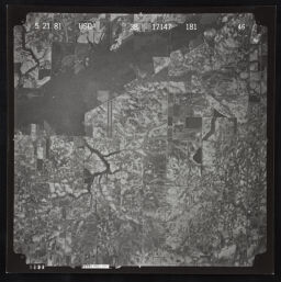
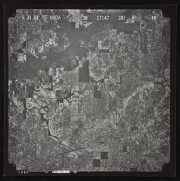
| Title | Piatt County, Illinois : Aerial Photographs |
| Creator | United States. Agricultural Stabilization and Conservation Service |
| County | Piatt County |
| Country | United States |
| State | Illinois |
| Subject | Piatt County (Ill.) |
| Genre | Aerial Maps |
| Date | 1981 |
| Scale | Scale [ca. 1:126,720] |
| Description |
|
| Rights | No Copyright - United States |
| Extent | Remote-sensing images ; 24 x 24 cm + photomosaic index (1 remote-sensing image ; 56 x 25 cm) |
| Type | Cartographic material |
| Repository | Map Library |
| Resource Identifier | 99499725712205899 |
| Collection Title | Allerton Park Maps and Air Photos |
| Collection | Allerton Park Maps and Air Photos |
Download Options
|
99499725712205899-001 | |

|
99499725712205899-002 | |

|
99499725712205899-003 | |

|
99499725712205899-004 | |

|
99499725712205899-005 | |

|
99499725712205899-006 | |
|
99499725712205899-007 | |

|
99499725712205899-008 |
Contact us
for questions and to provide feedback.