


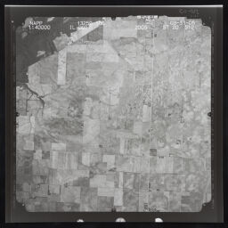
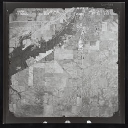
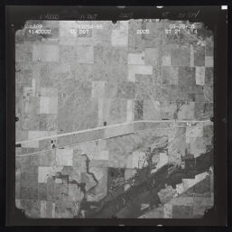
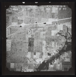
NAPP 2005 Aerial Photographs of Illinois
Permalink
https://digital.library.illinois.edu/items/5762aef0-b753-0139-78e9-02d0d7bfd6e4-3
Copyright Not Evaluated
Descriptive Information
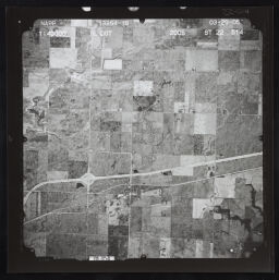
| Title | NAPP 2005 Aerial Photographs of Illinois |
| Creator | Surdex Corporation |
| County | Piatt County |
| Country | United States |
| State | Illinois |
| Subject | Illinois |
| Genre | Aerial photographs |
| Date | 2006 |
| Scale | Scale 1:40,000 |
| Description |
|
| Rights | Copyright Not Evaluated |
| Extent | Remote-sensing images ; 26 x 26 cm |
| Type | Cartographic material |
| Repository | Map Library |
| Resource Identifier | 99805656712205899 |
| Collection Title | Allerton Park Maps and Air Photos |
| Collection | Allerton Park Maps and Air Photos |
Download Options
|
99805656712205899-001 | |
|
99805656712205899-002 | |

|
99805656712205899-003 | |

|
99805656712205899-004 | |

|
99805656712205899-005 | |

|
99805656712205899-006 | |
|
99805656712205899-007 | |

|
99805656712205899-008 | |

|
99805656712205899-009 | |
|
99805656712205899-010 | |
|
99805656712205899-011 |
Contact us
for questions and to provide feedback.