
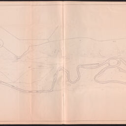
Comparative Contour Map : Robert Allerton Park
Permalink
https://digital.library.illinois.edu/items/579b7630-b753-0139-78e9-02d0d7bfd6e4-d
Copyright Not Evaluated
Descriptive Information
| Title | Comparative Contour Map : Robert Allerton Park |
| Creator | Horner, Wes. |
| County | Piatt County |
| Country | United States |
| State | Illinois |
| Subject | Allerton Park (Monticello, Ill.) |
| Genre | Maps |
| Date | 1971-1989 |
| Scale | Scale 1:2,400. 1 in. = 200 ft. |
| Description |
|
| Rights | Copyright Not Evaluated |
| Extent | 1 map : photocopy ; 88 x 179 cm |
| Type | Cartographic material |
| Repository | Map Library |
| Resource Identifier | 99954855494505899 |
| Collection Title | Allerton Park Maps and Air Photos |
| Collection | Allerton Park Maps and Air Photos |
Download Options
|
Comparative Contour Map : Robert Allerton Park |
Contact us
for questions and to provide feedback.