
Survey of the Mississippi River Made under the direction of the Mississippi River Commission
Permalink
https://digital.library.illinois.edu/items/98c25ed0-53cf-0137-6caa-02d0d7bfd6e4-b
No Copyright - United States
Descriptive Information
| Title | Survey of the Mississippi River Made under the direction of the Mississippi River Commission |
| Creator | United States. Mississippi River Commission |
| Contributor | Comstock, C. B. (Cyrus Ballou), 1831-1910 |
| Scale | 1:20,000 |
| Place of Publication | Washington (D.C.) |
| Publisher | United States. Mississippi River Commission |
| Date of Publication | 1900 |
| Extent | 89 maps |
| Dimensions | 91 x 91 cm or smaller |
| Notes |
|
| Coverage-Spatial | Mississippi River |
| Language | English |
| Subject | Nautical charts |
| Genre | |
| Rights | No Copyright - United States |
| Type | Cartographic material |
| Repository | Map Library |
| Local Bib ID | 1607651 |
| Collection Title | River Maps |
| Collection | River Maps |
Download Options
|
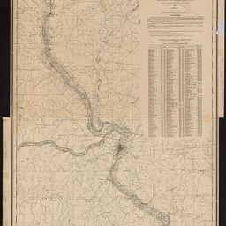
Index Map I | |
|
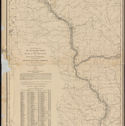
Index Map II | |

|
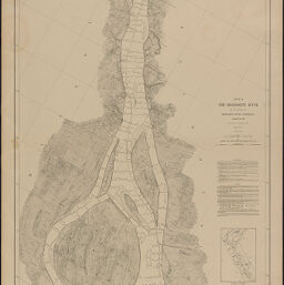
Chart 101 | |

|
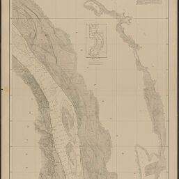
Chart 102 | |
|
Chart 103 | |

|
Chart 104 | |
|
Chart 105 | |

|
Chart 106 | |

|
Chart 107 | |

|
Chart 108 | |

|
Chart 109 | |
|
Chart 110 | |

|
Chart 111 | |

|
Chart 112 | |

|
Chart 113 | |

|
Chart 114 | |

|
Chart 115 | |

|
Chart 116 | |

|
Chart 117 | |

|
Chart 118 | |
|
Chart 119 | |

|
Chart 120 | |
|
Chart 121 | |

|
Chart 122 | |

|
Chart 123 | |

|
Chart 124 | |

|
Chart 125 | |
|
Chart 126 | |

|
Chart 127 | |
|
Chart 128 | |
|
Chart 129 | |

|
Chart 130 | |
|
Chart 131 | |

|
Chart 132 | |

|
Chart 133 | |

|
Chart 134 | |

|
Chart 135 | |
|
Chart 136 | |

|
Chart 137 | |

|
Chart 138 | |

|
Chart 139 | |

|
Chart 140 | |
|
Chart 141 | |

|
Chart 142 | |

|
Chart 143 | |
|
Chart 144 | |

|
Chart 145 | |

|
Chart 146 | |

|
Chart 147 | |

|
Chart 148 | |

|
Chart 149 | |

|
Chart 150 | |

|
Chart 151 | |

|
Chart 152 | |

|
Chart 153 | |

|
Chart 154 | |

|
Chart 155 | |

|
Chart 156 | |

|
Chart 157 | |

|
Chart 158 | |

|
Chart 159 | |

|
Chart 160 | |

|
Chart 161 | |

|
Chart 162 | |

|
Chart 163 | |
|
Chart 164 | |

|
Chart 165 | |

|
Chart 166 | |

|
Chart 167 | |

|
Chart 168 | |

|
Chart 169 | |

|
Chart 170 | |

|
Chart 171 | |

|
Chart 172 | |

|
Chart 173 | |
|
Chart 174 | |
|
Chart 175 | |

|
Chart 176 | |

|
Chart 177 | |

|
Chart 178 | |

|
Chart 179 | |

|
Chart 180 | |

|
Chart 181 | |

|
Chart 182 | |

|
Chart 183 | |

|
Chart 184 | |

|
Chart 185 | |

|
Chart 186 | |

|
Chart 187 | |

|
Chart 188 | |
|
Chart 189 |
Contact us
for questions and to provide feedback.