
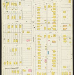
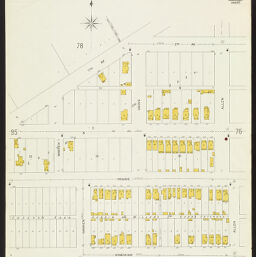
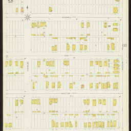
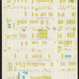
Insurance maps of Peoria, Illinois, Volume 1, June 1917, sheets 93-104
Permalink
https://digital.library.illinois.edu/items/b1ce8c40-c451-0133-1d17-0050569601ca-6
In the public domain.
Descriptive Information
| Title | Insurance maps of Peoria, Illinois, Volume 1, June 1917, sheets 93-104 |
| Creator | Sanborn Map Company |
| Coverage-Spatial | Peoria (Ill.) |
| Genre | Fire insurance maps |
| Subject | Fire insurance |
| Publisher | Sanborn Map & Publishing Co. |
| Date of Publication | 1917 |
| Place of Publication | New York (N.Y.) |
| Scale | |
| Language | English |
| Notes |
|
| Extent | 12 maps : color |
| Dimensions | 64 x 54 cm |
| Coordinates | (W 89°35ʹ20ʺ/N 40°41ʹ37ʺ) |
| Rights | No Copyright - United States |
| Rights Description | In the public domain. |
| Type | Cartographic material |
| Repository | Map Library |
| Local Bib ID | 7403943 |
| Collection Title | Sanborn Fire Insurance Maps |
| Collection | Sanborn Fire Insurance Maps |
Download Options
|
1917_Page093 | |

|
1917_Page094 | |

|
1917_Page095 | |
|
1917_Page096 | |

|
1917_Page097 | |

|
1917_Page098 | |
|
1917_Page099 | |
|
1917_Page100 | |
|
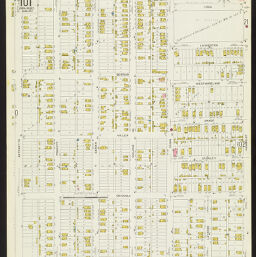
1917_Page101 | |
|
1917_Page102 | |

|
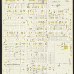
1917_Page103 | |

|
1917_Page104 |
Contact us
for questions and to provide feedback.