
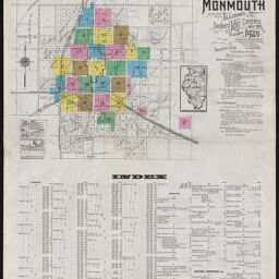
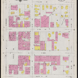
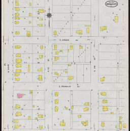
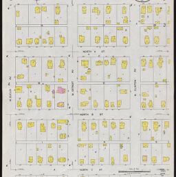
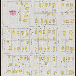
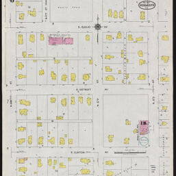
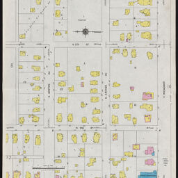
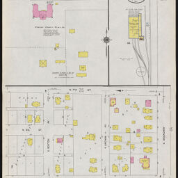
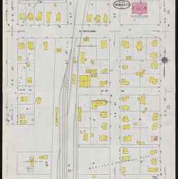
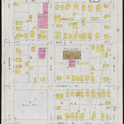
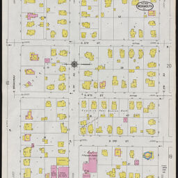
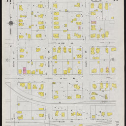
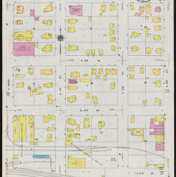
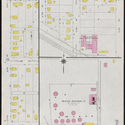
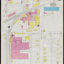
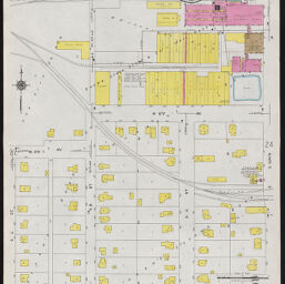
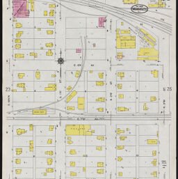
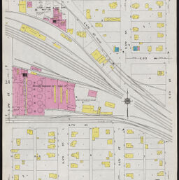
Monmouth, Warren County, Illinois, December, 1924
Permalink
https://digital.library.illinois.edu/items/b4de9500-5a6a-0139-7734-02d0d7bfd6e4-e
In the public domain.
Descriptive Information
| Title | Monmouth, Warren County, Illinois, December, 1924 |
| Creator | Sanborn Map Company |
| Coverage-Spatial | Monmouth (Ill.) |
| Genre | Fire insurance maps |
| Subject | Fire risk assessment |
| Publisher | Sanborn Map & Publishing Co. |
| Date of Publication | 1925 |
| Place of Publication | New York (N.Y.) |
| Scale | ca. 1:600 |
| Language | English |
| Notes |
|
| Extent | 26 maps : color |
| Dimensions | 65 x 55 cm |
| Coordinates | W 90°38ʹ50ʺ/N 40°54ʹ41ʺ |
| Rights | No Copyright - United States |
| Rights Description | In the public domain. |
| Type | Cartographic material |
| Repository | Map Library |
| Local Bib ID | 99738357712205899 |
| Collection Title | Sanborn Fire Insurance Maps |
| Collection | Sanborn Fire Insurance Maps |
Download Options
|
99738357712205899-001 | |

|
99738357712205899-002 | |
|
99738357712205899-003 | |

|
99738357712205899-004 | |
|
99738357712205899-005 | |
|
99738357712205899-006 | |
|
99738357712205899-007 | |
|
99738357712205899-008 | |

|
99738357712205899-009 | |
|
99738357712205899-010 | |
|
99738357712205899-011 | |
|
99738357712205899-012 | |
|
99738357712205899-013 | |
|
99738357712205899-014 | |

|
99738357712205899-015 | |

|
99738357712205899-016 | |
|
99738357712205899-017 | |

|
99738357712205899-018 | |
|
99738357712205899-019 | |

|
99738357712205899-020 | |
|
99738357712205899-021 | |
|
99738357712205899-022. | |
|
99738357712205899-023 | |
|
99738357712205899-024 | |
|
99738357712205899-025 | |

|
99738357712205899-026 |
Contact us
for questions and to provide feedback.