
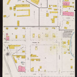
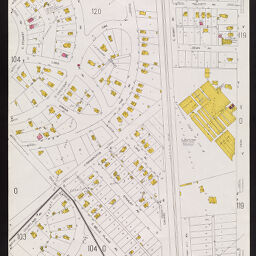
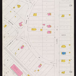
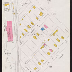
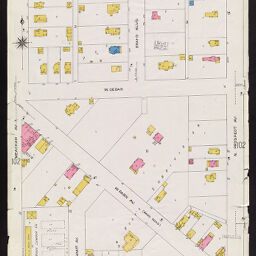
Insurance maps of Chicago, Illinois. Volume A, sheets 101-108, 121.
Permalink
https://digital.library.illinois.edu/items/c9e86900-c451-0133-1d17-0050569601ca-a
In the public domain.
Descriptive Information
| Title | Insurance maps of Chicago, Illinois. Volume A, sheets 101-108, 121. |
| Creator | Sanborn Map Company |
| Coverage-Spatial | Park Ridge (Ill.) |
| Genre | Fire insurance maps |
| Subject | Fire risk assessment |
| Publisher | Sanborn Map & Publishing Co. |
| Date of Publication | 1917 |
| Place of Publication | New York (N.Y.) |
| Scale | Scale 1:600. 50 ft. to 1 in. |
| Language | English |
| Notes |
|
| Extent | 9 maps : color |
| Dimensions | 71 x 49 cm |
| Rights | No Copyright - United States |
| Rights Description | In the public domain. |
| Type | Cartographic material |
| Repository | Map Library |
| Local Bib ID | 6736032 |
| Collection Title | Sanborn Fire Insurance Maps |
| Collection | Sanborn Fire Insurance Maps |
Download Options
|
1917_Page101 | |

|
1917_Page102 | |

|
1917_Page103 | |
|
1917_Page104 | |
|
1917_Page105 | |
|
1917_Page106 | |

|
1917_Page107 | |

|
1917_Page108 | |
|
1917_Page121 |
Contact us
for questions and to provide feedback.