


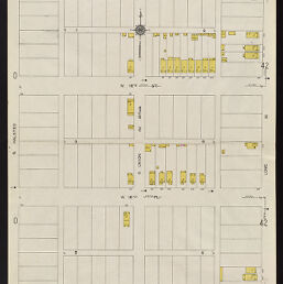
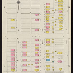
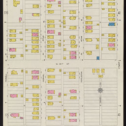
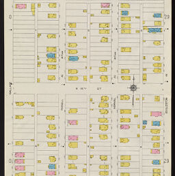
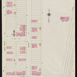
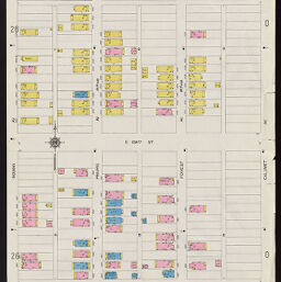
Insurance maps of Chicago, Illinois. Volume G, sheets 114-119
Permalink
https://digital.library.illinois.edu/items/ca47e410-c451-0133-1d17-0050569601ca-7
In the public domain.
Descriptive Information
| Title | Insurance maps of Chicago, Illinois. Volume G, sheets 114-119 |
| Creator | Sanborn Map Company |
| Coverage-Spatial | Chicago (Ill.) |
| Genre | Fire insurance maps |
| Subject | Fire risk assessment |
| Publisher | Sanborn Map & Publishing Co. |
| Date of Publication | 1922 |
| Place of Publication | New York (N.Y.) |
| Scale | Scale 1:600. 50 ft. to 1 in. |
| Language | English |
| Notes |
|
| Extent | 6 maps : color |
| Dimensions | 71 x 49 cm |
| Rights | No Copyright - United States |
| Rights Description | In the public domain. |
| Type | Cartographic material |
| Repository | Map Library |
| Local Bib ID | 6740597 |
| Collection Title | Sanborn Fire Insurance Maps |
| Collection | Sanborn Fire Insurance Maps |
Download Options
|
1922_Page114 | |
|
1922_Page115 | |
|
1922_Page116 | |
|
1922_Page117 | |
|
1922_Page118 | |
|
1922_Page119 |
Contact us
for questions and to provide feedback.